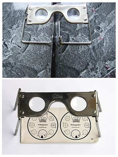
(Contributed image)
Stories this photo appears in:

Fifty Year Evolution of Land Maps
As I sat in my wildlife class at college in 1973, the professor told me to obtain an aerial photograph of a section of land which is equivalent to 640 acres. With the use of the map, I was to create the optimum habitat for whitetail in that section of land. In other words, implementing various ideas such as, timber stand improvement etc.
WEATHER SPONSORED BY
250 X 250 AD
250 X 250 AD
E-Editions

250 X 250 AD
Events
250 X 250 AD